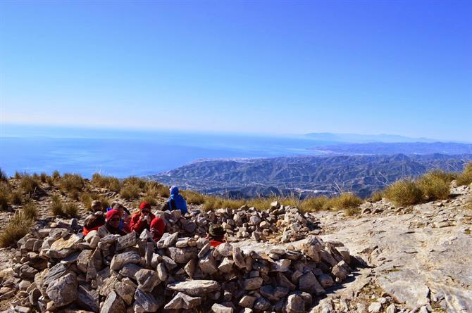
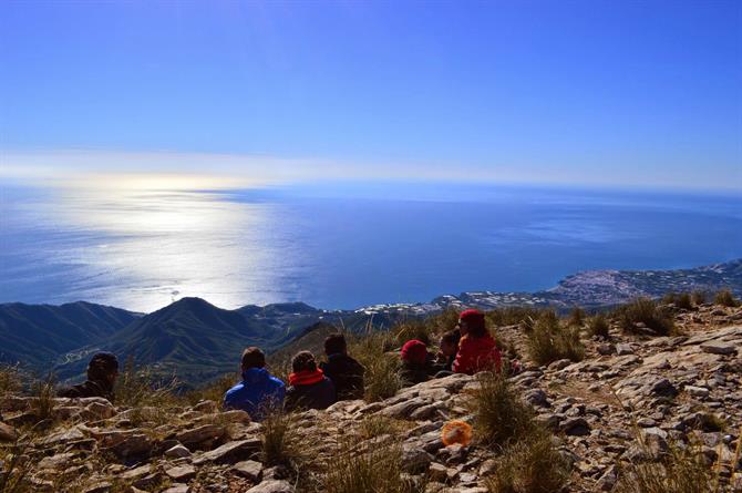
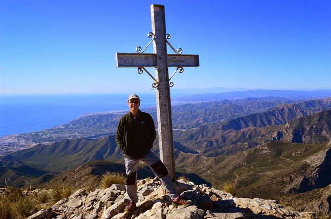
A diverse and beautiful adventure is guaranteed to any hiker venturing in the area surrounding Nerja.
The Sierra de Tejada Almijarra Natural Park and the natural area of the Acantilados de Maro-Cerro Gordo both define the stunning diversity of the region, while the rugged beauty of the area that separates these lands presents yet another incredible view for explorers.
The Acantilados de Maro-Cerro Gordo natural area is a coastal strip that begins just after Nerja and boasts a collection of some of the best beaches in Andalucia.
The appeal of this region is further advanced by a beautiful hike that connects two of these beaches, the hike between Playa El Canuelo and Playa de Cantarrijan.
Sierra de Tejeda, Almijara y Alhama de Granada Natural Park
The Sierras de Tejeda, Almijara and Alhama Natural Park reach just over 40,000 hectares of land and sits between the provinces of Granada and Malaga. This particular park is characterised by its rugged and arid landscape.
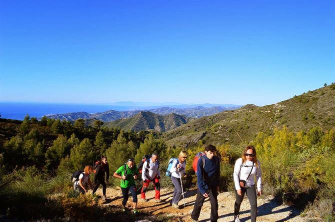
The peaks of the Sierras de Tejeda Mountains are more than just scenic destinations for avid hikers; these peaks are significant in their role as a natural border separating Málaga and Granada. The Tejeda and Almijara mountains skirt along the Malagueña side and are located in the heart of the Axarquia region.
Alhama is the westernmost part of Granada and features the Tejeda Peak, which offers a spectacular view of the Mediterranean coast and adjacent mountain range with its vast reach of 2,065 meters above sea level.
Both the spring and autumn seasons are ideal for hiking the Sierras de Tejada. Given the extreme heat that sweeps these regions during the summer months, comfortable hiking is limited to night time. Several of the peaks in the Sierras de Tejeda offer breathtaking views of the sunrise.
Regardless of the season or the hour of day, it is imperative that anyone hiking these areas brings plenty of water. This particular hike does not offer natural springs to rehydrate.
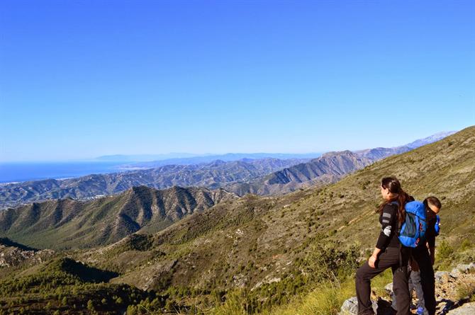
If you are looking for the best and most unobstructed views of the entire coast, the hike up the Cuesta del Cielo is the one for you. On a clear day, the views are spectacular, the Moroccan coastline is clearly visible.
Though there are several routes up El Cielo, the easiest to follow is described below.
Where to start
The parking lot at the Cuevas de Nerja is the starting point for several hikes in the area. During the months of spring and winter, the open barrier allows you to drive further into the natural park, which lessens the length of the hike by five kilometres one-way.
The exact dates of when the barrier is open vary and depend on the levels of rainfall within the region. During the dry summer months, these gates are closed to prevent potential fire hazards.
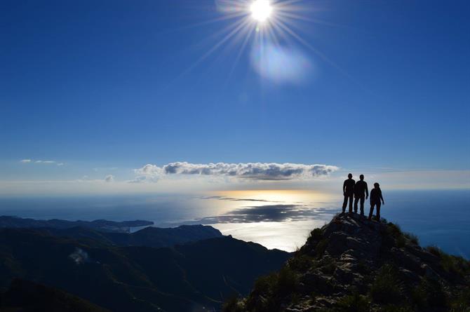
There are three mid-sized mountains in the immediate vicinity: Almendron (1514m), Cielo (1508m) and Navachica (1830m). El Cielo is only six kilometres away from the coastline, making it a very popular mountain for hikers in the area.
You can park at the Cuevas de Nerja, or if the gate is open, drive through. The track is easily passable in a normal car. Continue following the track as it winds further into the natural park. After about four kilometres, you’ll arrive at a Y-junction with a signpost for the El Pinarillo recreation area (área recreativa El Pinarillo) on the left (another two kilometres). Unless in a 4x4, this location is ideal for parking.
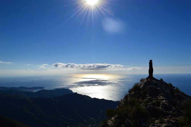
Start walking from here. You’ll notice a larger forestry path that winds up the mountain to the right. Parallel to this path, there are often little “shortcuts” that cut steeply uphill which can alternatively be trekked if feeling adventurous.
Eventually, all of these routes lead back to the main path. At the time of writing, the path was signposted as "Sendero Pico del Cielo.”
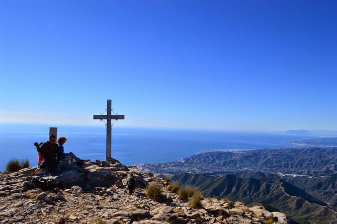
After some distance, you’ll arrive at the Cortijo de la Civila, where the path divides left and right. These routes are both possible as they eventually rejoin, though we tend to go left. Either way, these routes become increasingly steep and narrow.
The Cuesta del Cielo
After considerable climbing, you’ll reach a height just below one-thousand metres and you will notice a mountain pass. To the left, you can see the view over the Granada coastline and Sierra Nevada. To the right, you can see the land back to Malaga. It is at this point where many turn around as the track becomes increasingly complicated and difficult to navigate.
