Gran Canaria's home to a total of 21 municipalities. Let's get to know them one by one. We'll cover eleven municipalites in part one and the remaining ten in part two.
Agaete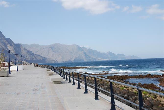
The most northwesterly of Gran Canaria's provinces, Agaete's home to a white village of a capital plus bustling port, Puerto de las Nieves. Elsewhere, its valley's a thriving agricultural area, housing Europe's only coffee plantations including Finca Los Castaños. The Valle de Agaete's also where you'll find open-air museum, Necrópolis de Maipés.
It should go without saying that the Agaete locals like to party hard, hosting the popular Fiesta de la Rama. A newer addition to the calendar is global music fest, BioAgaete Cultural Solidario. Agaete's home to some great hikes, such as to the Charco Azul. And if you want to try naturism for the first time, avoid prying eyes at out-of-the-way Playa de Guayedra.
Area: 45.5 square kilometres (17.6 square miles)
Distance from airport: 57.3km (35.6 miles)
Distance from centre of Las Palmas de Gran Canaria: 34km (21.1 miles)
Distance from Playa del Inglés: 89.4km (55.6 miles)
Population: 5,656
Website: Illustre Ayuntamiento de la Villa de Agaete
Agüimes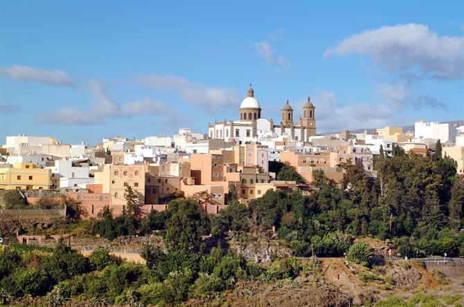
The GC-1, Gran Canaria's major motorway, bypasses easterly Agüimes which can be reached travelling south from Las Palmas de Gran Canaria and the airport, and north from the island's major resorts. You should definitely turn off though to discover the capital with its beautifully-preserved centre and the rest of the picturesque municipality. The village of Agüimes and surrounding area is one of the most unspoilt parts of the island, and handily placed for a day trip from the likes of Playa del Inglés.
Area: 79.3 square kilometres (30.6 square miles)
Distance from airport: 10.6km (6.6 miles)
Distance from centre of Las Palmas de Gran Canaria: 35.2km (21.9 miles)
Distance from Playa del Inglés: 30.9km (19.2 miles)
Population: 30,244
Website: Ayuntamiento de la Villa de Agüimes
Artenara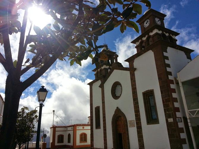
Gran Canaria's great western, Artenara's the most sparsely populated municipality on the island. Its capital is the highest village on Gran Canaria. Being so out of the way means Artenara preserves its traditions and it's truly a living, breathing monument to the Canarian way of life.
Area: 66.7 square kilometres (25.8 square miles)
Distance from airport: 53.1km (33 miles)
Distance from centre of Las Palmas de Gran Canaria: 45.4km (28.2 miles)
Distance from Playa del Inglés: 58km (36 miles)
Population: 1,180
Website: Ayuntamiento de Artenara
Arucas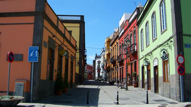
The polar opposite of what you can expect to find in the south of the island, Arucas is unashamedly northern. Its coastline is dotted with beaches which are darker in sand than their southern counterparts. Like local favourite, El Puertillo which is visited for its natural swimming pool as well as its playa.
As well as the coast, Arucas' countryside is well worth exploring. A rural area which features banana plantations. Or how about enjoying epic views of surf and turf with a leisurely walk along one of Arucas' hiking paths such as the SL4?
Area: 33 square kilometres (12.8 square miles)
Distance from airport: 36km (22.4 miles)
Distance from centre of Las Palmas de Gran Canaria: 12.7km (7.9 miles)
Distance from Playa del Inglés: 68.1km (42.3 miles)
Population: 37,056
Website: Ayuntamiento de Arucas
Firgas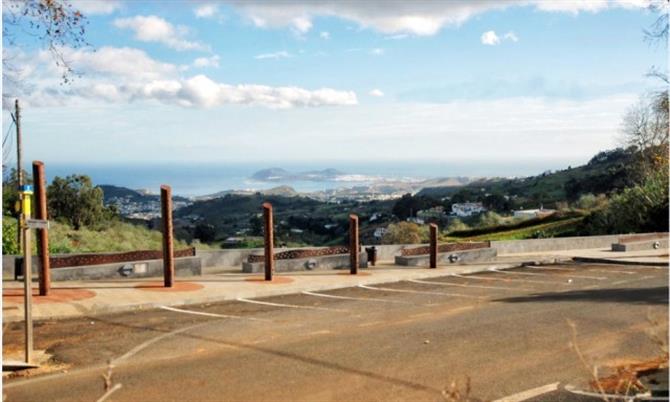
Welcome to Gran Canaria's wetlands. Firgas is a veritable watercress factory. They even have a festival celebrating this iron-rich vegetable where you can sample such gastronomic curios as watercress cake and even watercress jam.
This northern outpost's noted for its barrancos. These ravines offer a stunning backdrop to a hike. One of the municipality's most famous barrancos is the Barranco Azuaje and indeed a footpath runs through this suitably dramatic ravine.
Area: 15.8 square kilometres (6.1 square miles)
Distance from airport: 44.2km (27.5miles)
Distance from centre of Las Palmas de Gran Canaria: 21km (13 miles)
Distance from Playa del Inglés: 76.3km (47.4 miles)
Population: 7,618
Website: Ayuntamiento de la Villa de Firgas
Gáldar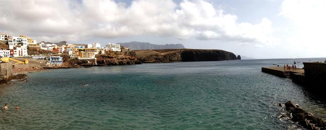
Sandwiched between Santa María de Guía to the east and Agaete to the west, Gáldar was one of the municipalities most highly regarded by the canarii who occupied the island before the arrival of the Spanish in the 15th century. Learn more about them at the Cueva Pintada archaeological park and museum. You'll find this in the heart of the municipal capital.
Elsewhere in the municipality, you'll discover one of the island's prettiest beaches at Sardina del Norte. Considerably less accessible, but perhaps even more beautiful, is Playa del Juncal. Head inland to visit an aloe-vera plantation and a dairy to stock up on some tasty artisan cheese.
Area: 61.6 square kilometres (23.8 square miles)
Distance from airport: 50.3km (31.3miles)
Distance from centre of Las Palmas de Gran Canaria: 27.1km (16.8 miles)
Distance from Playa del Inglés: 82.4km (51.2 miles)
Population: 24,209
Website: Gáldar
Ingenio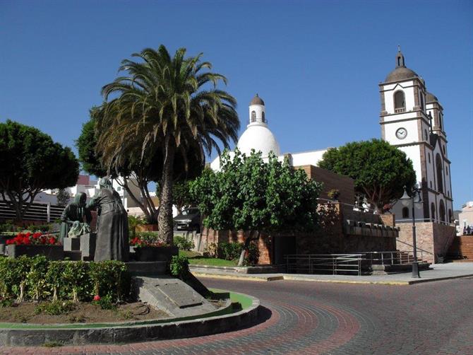
Ingenio's one of the main centres on the island where traditional crafts are still produced. And that's not the only thing they're manufacturing. There's the municipality's distinctive pan de puño bread, made most noticeably by Panaderia Artesanal Amaro, and the world's purest vodka.
Area: 38.2 square kilometres (14.7 square miles)
Distance from airport: 7.2km (4.5miles)
Distance from centre of Las Palmas de Gran Canaria: 31.8km (19.8 miles)
Distance from Playa del Inglés: 34.7km (21.6 miles)
Population: 30,173
Website: Ayuntamiento de la Villa de Ingenio
La Aldea de San Nicolás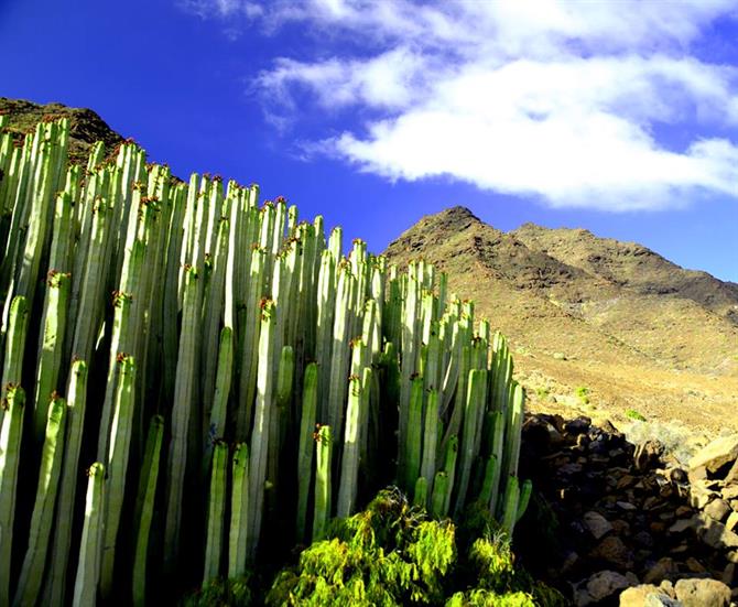
Welcome to the wild west of Gran Canaria. La Aldea de San Nicolás is so isolated that in the old days natives used to take a boat to Tenerife rather than travel to Las Palmas de Gran Canaria to stock up on provisions. The municipality hosts one of the island's wackiest celebrations, the Fiesta del Charco. You'll also find secret beaches in La Aldea such as the like of Playa de Tasarte.
Area: 123.6 square kilometres (47.7 square miles)
Distance from airport: 82.3km (51.1 miles)
Distance from centre of Las Palmas de Gran Canaria: 68.7km (42.7 miles)
Distance from Playa del Inglés: 55.9km (34.7 miles)
Population: 8,225
Website: Ayuntamiento de La Aldea de San Nicolás
Las Palmas de Gran Canaria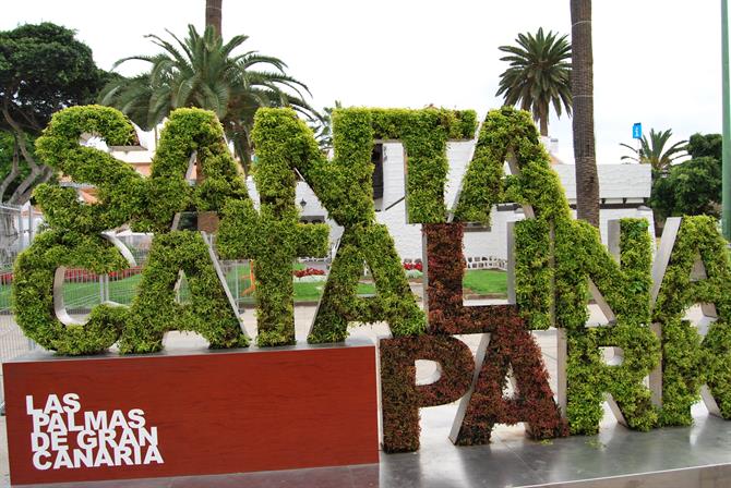
You could cram Las Palmas de Gran Canaria into a 48-hour visit. Although you probably won't get to explore outside the city. As you explore the likes of Playa de las Canteras by day and the capital's nightlife when the sun goes down.
There's more to see beyond the city walls, though. Including barrancos, calderas, and jardínes. And not forgetting wineries.
Area: 100.6 square kilometres (38.8 square miles)
Distance from airport: 25km (15.5 miles)
Distance from centre of Las Palmas de Gran Canaria: 0km (0 miles)
Distance from Playa del Inglés: 57.1km (35.5 miles)
Population: 382,283
Website: Ayuntamiento de Las Palmas de Gran Canaria
Mogán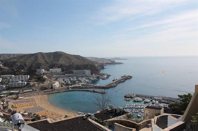
Despite being one of the most popular municipalities for tourists on Gran Canaria, you can go beyond the resorts in the south-west's Mogán. To its interior and its charming capital. Or further westward along its coastline, to the great lost beach of Playa de Veneguera.
Area: 172.4 square kilometres (66.6 square miles)
Distance from airport: 58.6km (36.4 miles)
Distance from centre of Las Palmas de Gran Canaria: 83.3km (51.8 miles)
Distance from Playa del Inglés: 31.1km (19.3 miles)
Population: 23,491
Website: Ayuntamiento de Mogán
Moya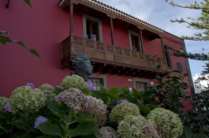
To reach the municipal capital of Moya is one of Gran Canaria's great drives. Perched high in the mountains, the village offers amazing views of the Atlantic Ocean four kilometres below. And if that doesn't give you a rush, the municipalities' famed meringues will provide you with one of the sugar variety.
Area: 31.9 square kilometres (12.3 square miles)
Distance from airport: 47.6km (29.6 miles)
Distance from centre of Las Palmas de Gran Canaria: 24.3km (15.1 miles)
Distance from Playa del Inglés: 78.6km (48.8 miles)
Population: 7,869
Website: Ayuntamiento de Moya
